
Hope you enjoy the snow and ice because we have a lot of it coming for the weekend! We have two storms on tap for this Christmas weekend, but don’t let them dampen your Holiday Spirit.
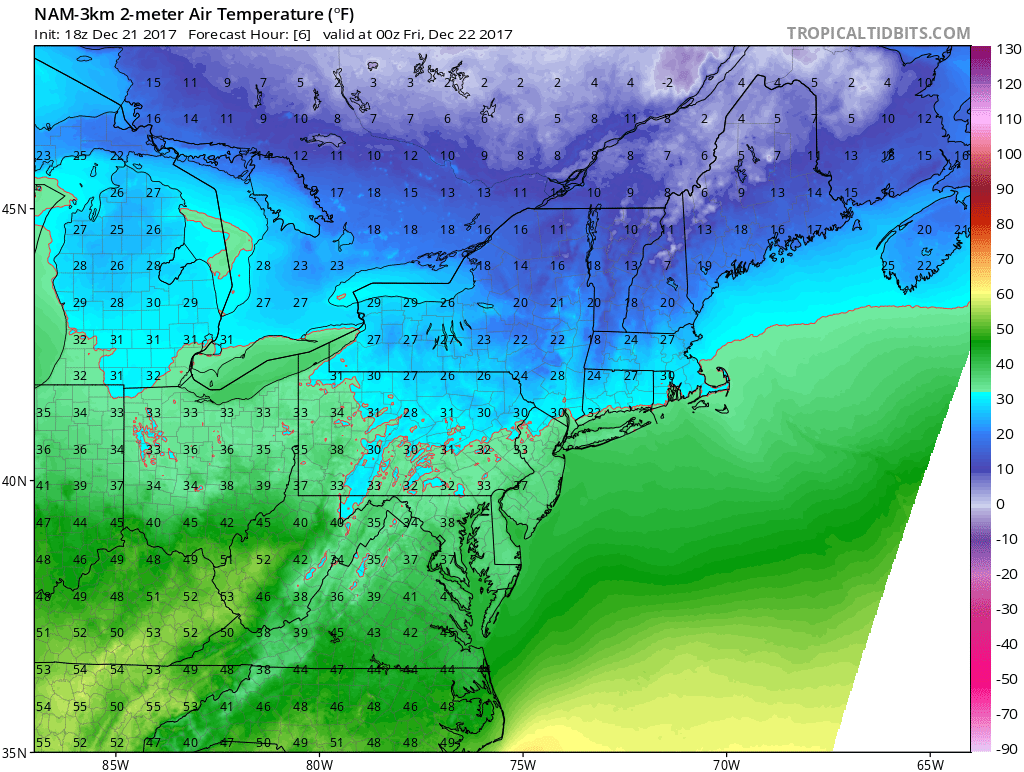
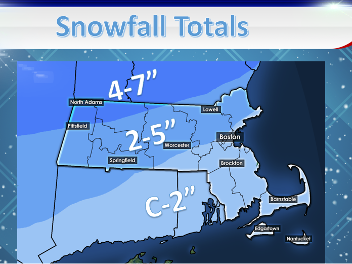
The first storm looks to begin during the morning tomorrow with some light snow showers. A wave of low pressure is moving up the East Coast, while cold air is locked in in the Northeast. Thanks to this storm slowing down and not arriving until tomorrow, this will lead us to an interesting situation with freezing rain on Saturday. Right now, it looks like moderate snow will overspread the region through the day Friday with areas north of the MA Pike remaining snow for most of the day. This brings a plowable amount of 2-5″ with areas north of RT 2 seeing the highest totals. Precipitation looks to fade slowly Friday night as a second wave moves in early Saturday morning. This wave is followed by a warm front, however the warm front looks to have trouble moving into the region.
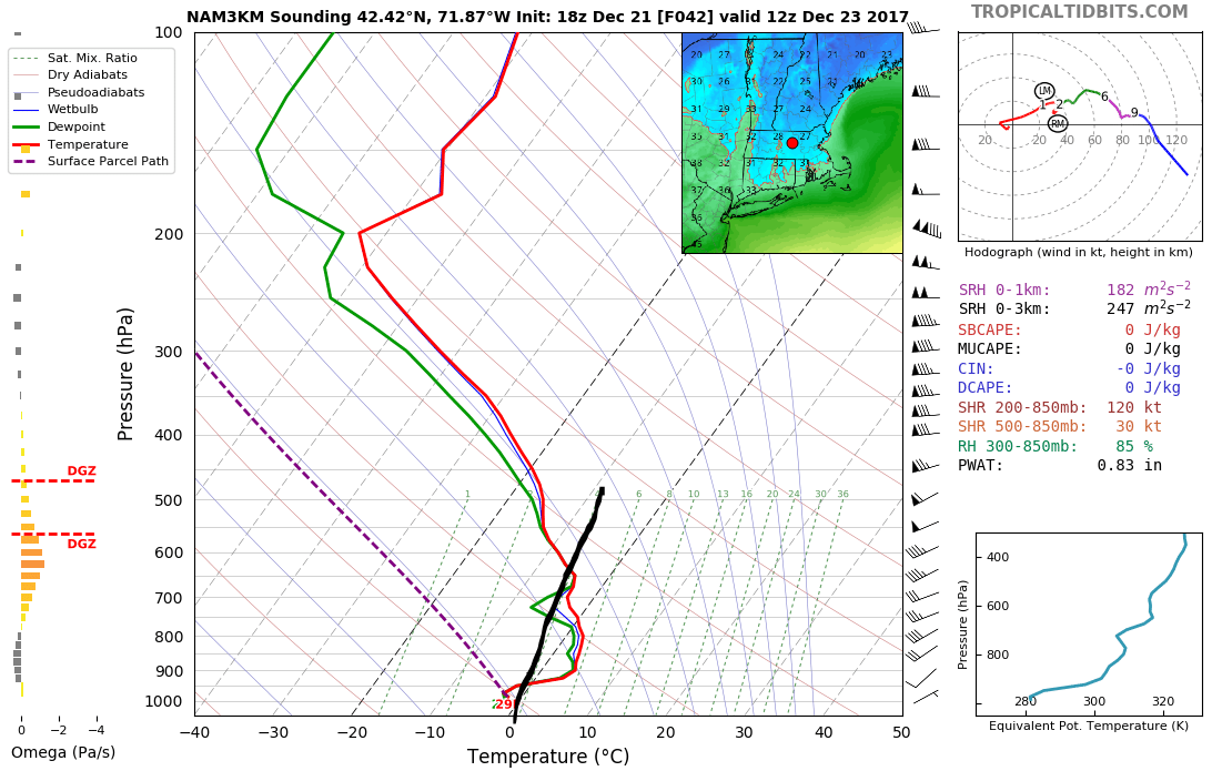
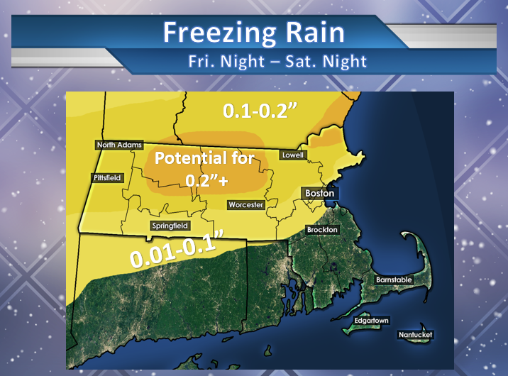
The black line on the above sounding from Worcester shows the 0° temperature. We see above 700 hPa it is below freezing, however there is a layer above the surface that is above freezing. This means that the snow falling from the clouds (which are above that 700 hPa area) will melt as it goes to the ground. Normally, this would be okay as it would mean our snow transitions to rain. However, since the surface is below freezing, the rain will freeze on contact causing a glaze over the freshly fallen snow and roads. Since this event looks to be long duration and due to the cold air having been in place for the past couple days, this looks to be a long duration freezing rain event (almost similar to what we saw in ’08 when areas saw up to 1″ of ice! NOTE: Impacts do not look to be that devastating for this storm).
This is what we can expect overall by the end of this storm Sunday morning:
After this mess of a storm, we see a break from any precipitation on Sunday before we get some more snow for Christmas Day! Looks like it will be a White Christmas after all!