
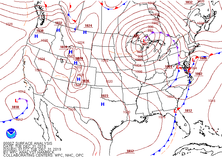
We saw an interesting phenomenon yesterday with our storm system. A secondary area of low pressure formed to our south which brought in more precipitation for the overnight hours.
This resulted in a few changes to the middle and the upper atmosphere due to the strengthening of the low. First the middle atmosphere saw an increase in vorticity (vorticity being a measure of the spin in the atmosphere, higher vorticity means more spin which means a stronger storm).
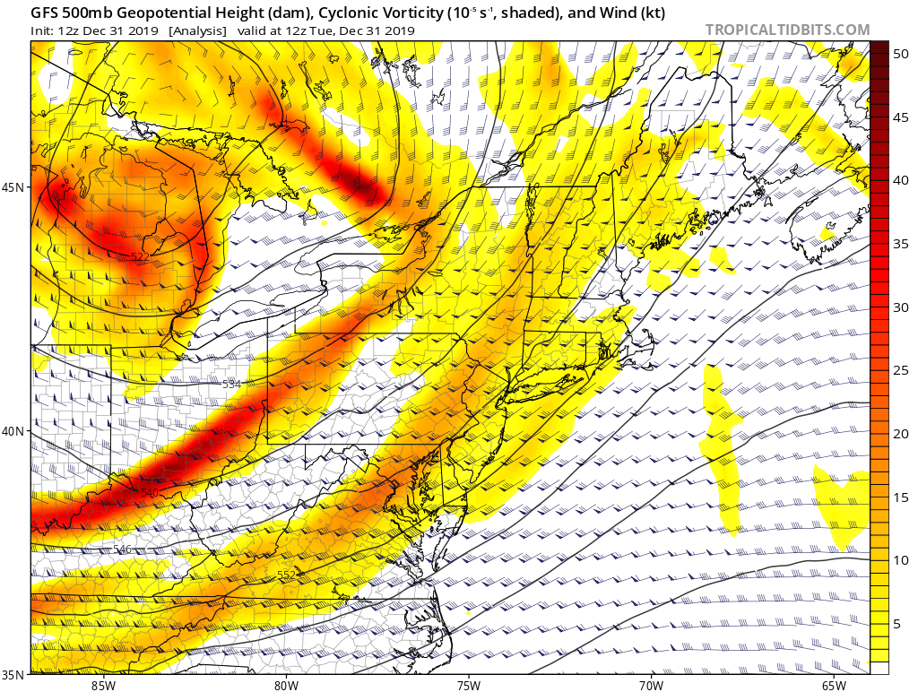
This indicates a strengthening storm system with increasing precipitation intensity likely over Western and Central MA. We saw this roll through between 6 -8 p.m. from west to east as a line of strong precipitation and thunder and lightning worked its way through the region. However, surface temperatures at the time were cold and so was the air directly above it. When we talk about convective thunderstorms, we think of rising air from the surface that causes the towering cumulonimbus thunder clouds.
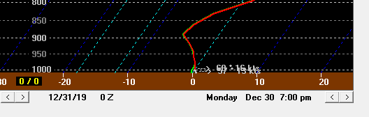
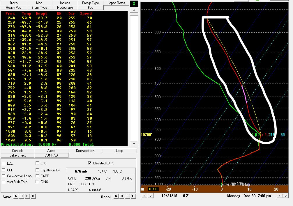
Looking at the above image, we see a temperature line that decreases as we go up into the atmosphere to just above the 900 hPa dotted line and then increases. This means that parcels at the surface are warmer than the ones above them, so they will rise and cool until they hit warmer air (in this case, warmer air occurs slightly above the 900 hPa dotted line). They only rise a short distance (100 hPa), which isn’t high enough to cause thunderstorm activity, especially in the winter. So if this wasn’t the case, then what did cause our thunderstorm activity?


The above two images show an atmospheric sounding (graph that shows temperature (red) and dew point (green) at a point as we look up into the atmosphere) on the left and jet stream winds (shaded) on the right.
We see jet streak entrance region (an area just northeast/east of stronger winds within the jet stream shown above by the orange and red colors) over Western and Central MA. Jet Streaks help to increase vertical motion of air parcels. Hours before the thunderstorm activity, there had been an area of colder air working its way into the lower levels of the region, which changed much of the area in Western and Central MA from rain to a sleet/snow/rain mixture during the afternoon hours. This colder air pushed the warm air that was at the surface upwards (since cold air is more dense than warm air) and combine that with the jet streak we saw between 6-8 p.m., we saw what is coined as “elevated convection” (which we can see on the sounding on the left circled).
Elevated convection is convection that occurs above the surface, usually above 850-900 hPa. This can cause thunderstorm outbreaks to occur, even in cold seasons, as long as the ingredients to make them are there. However, these storms will not be as severe as in the summertime, since there is a layer of cold, stable air at the surface. This stable surface air protects the surface from rotation. However, many areas last night did receive hail from these systems mixed in with the rain/sleet/snow. This was most likely due to the height of the strong wind gusts and there already being frozen precipitation falling to begin with.