
Meteorological Winter is on our doorstep, beginning this Sunday! So far, we have seen a light start to winter, only a trace of snow accumulation has been recorded for Lowell; Typically, we see 1.9″ of snowfall on average in November (NOAA 1981-2010 Lowell CO-OP climate data).
As we turn the tide of a new season, we are watching yet another chance for some wintry weather, like we have seen the past few weeks. Unlike those other storms, the snow won’t be confined to the tail end of the storm, but rather, be the main feature thanks to the cold air we will have in place!
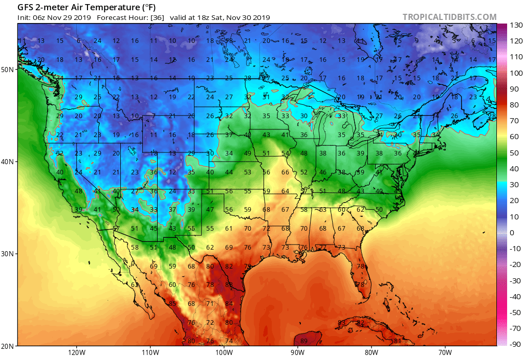
High temperatures both Friday and Saturday are forecast to be below average in the mid 30 to upper 30s with overnight Lows being stuck in the upper teens and low 20s. Lower level air temperatures (850 hPa level, most consistent to look at for our precip type in storms) will be between 20-30 °F for most of Saturday and into Saturday night as the storm approaches the region. This sets up a nice set of ingredients for our storm on Sunday: 1) Cold air at the surface and lower levels in place ahead of the storm; 2) Area of High Pressure to our north to hold the cold air in place; 3) Storm redevelopment off the coast to our South


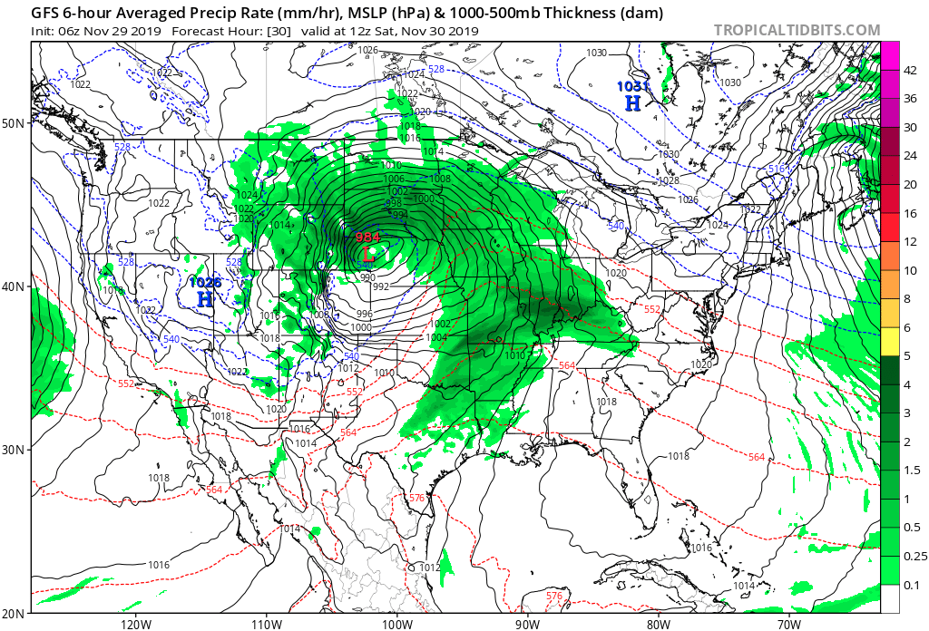
Looking at the map on the left, we see the Ensemble mean MSLP (Ensemble being a blend of many model runs that each change a few variables to ascertain a blend of possible outcomes). Look towards the Northeast, we see two areas of Low Pressure. This is similar to a classic Miller Type B (image courtesy of weather.gov) Nor’Easter, which sees an area of low pressure travel across the Midwest bringing rain and snow to the area. Then as it hits the Appalachians, it weakens and another low pressure system forms on the other side of the mountains close to the Atlantic coast, which brings us our snow. This is what is forecast to happen, with the low from the Midwest traveling a little further north than in a classic Miller Type B scenario. This brings in the potential for some more mixing to occur further North into Massachusetts since the storm will pass by closer to the region.
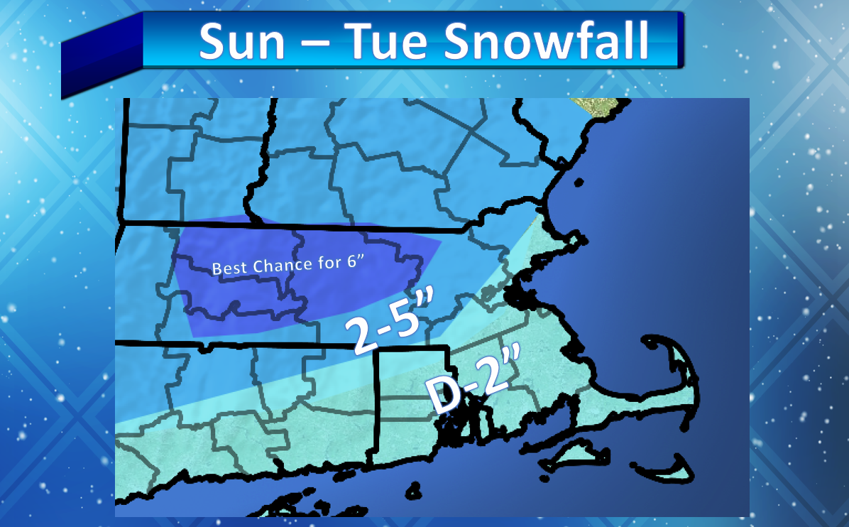
FORECAST:
Precipitation breaks out Sunday afternoon between 2-4 p.m. from West to East. Starts as all snow across the region. As the secondary area of low pressure forms during the evening Sunday, we could see some rain mix in with the snow, especially in areas close to the 495 belt. Outside of here, you should remain primarily all snow. From here, the storm gets tricky. It looks to be a slow mover throughout the day on Monday, meaning precipitation bands will be pivoting inland throughout the day bringing periods of lighter snowfall and more intense snowfall throughout the day. The storm system looks to pull away by Monday evening, with a few lingering snow showers possible into early Tuesday morning.