By: David Coe – UMass Lowell Ph.D Student
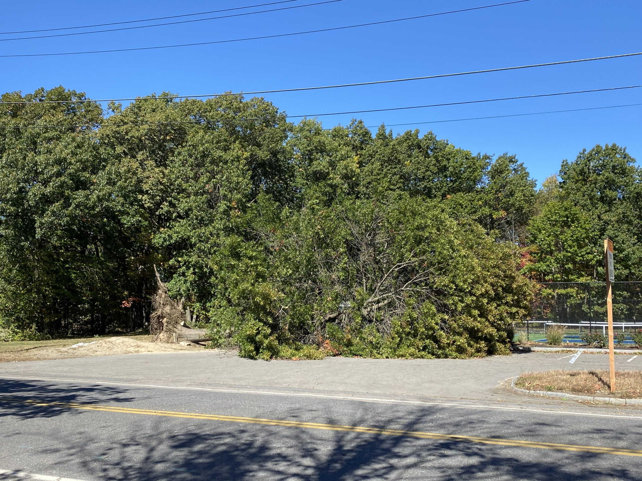
Heavy rains, lightning, hail, and gusty winds accompanied a cold front through New England in the afternoon on October 7th. These wicked winds caused widespread damage, with many power outages, downed lines, downed tree limbs and trees, and even some trees being uprooted from the ground completely!

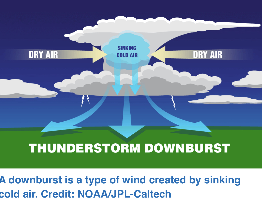
This event is what is known as a derecho. A derecho is defined as a widespread and long lived wind storm usually accompanied with a line of showers/thunderstorms. To be classified as a derecho, wind damage needs to spread for at least 240 miles and wind gusts need to be over 58 mph for the majority of the event. These events are different from tornadoes as the wind damage is “straight-lined”, meaning that the damage is usually seen in a relatively straight line in one direction. These winds are produced from downbursts from a thunderstorm.
Derechos are relatively rare in New England, this being the third occurrence we have seen in the past 25 years! The last derecho to impact the region was on May 18th, 2018, with the last derecho directly impacting Massachusetts being seen on July 15th, 1995.

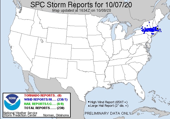
The above map shows wind reports for Oct 7th, notice that there is a relatively straight-line swath of reports from Central NY to the Cost of Massachusetts. Most of these reports featured wind gusts around 60+ mph with many downed trees and power lines.
GOES-EAST satellite and GLM imagery of the derecho
The above video shows a satellite view of the derecho along with lightning strikes mapped to the clouds. Note that the line formed in the afternoon in Western NY and progressed slowly to the Southeast over the 6 hour time period. Lightning strikes were frequent over the duration of the event, with hail being reported in the stronger cells (identifiable here as darker red colors).

